Green Action Trust Pilot Project – North Ayrshire LNRs

Delivery Partners
North Ayrshire Council
Timescale
Project Summary
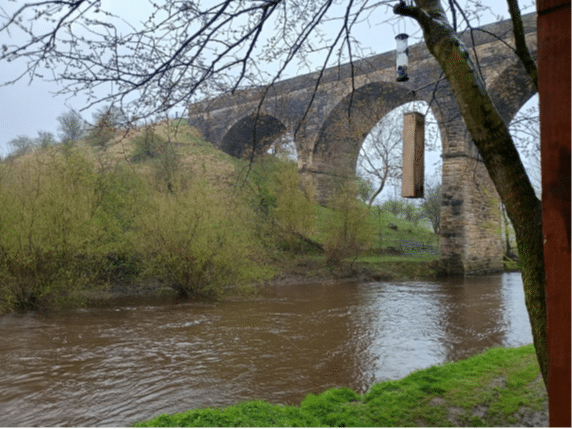
As part of the Nature Network Pilot Project, Green Action Trust (GAT) worked with North Ayrshire Council to explore the potential for the River Garnock corridor to become a future Local Nature Reserve (LNR). This piece of worked aimed to move from strategic Nature Network mapping toward practical site appraisal. Green Action Trust brought together an outline LNR Site Feasibility Matrix, conducted a GIS-led desk study review, and a feasibility-level Phase 1 Habitat Survey to assess the corridor’s suitability for future LNR designation.
How was the project delivered in line with the Nature Network Framework principles?
Delivery principles –
Theme 3: Knowledge and skills
Theme 4: Data, mapping, and monitoring
The focused task chosen for North Ayrshire was the identification of a potential LNR within one of the localities within the North Ayrshire Nature Network, demonstrating moving from mapping to delivery. North Ayrshire had already progressed work relating to developing a LNR within the Irvine locality at Irvine Links and were keen to explore the viability of a similar project within North Ayrshire.
Initial work focused on reviewing the draft North Ayrshire Nature Network corridor mapping supplied by North Ayrshire alongside locality boundaries, landownership information and wider GIS environmental datasets. This enabled GAT to consider where the strongest opportunities existed for testing an LNR-led delivery approach within one of the North Ayrshire localities.
Following discussion with the Biodiversity and Sustainability Officer at North Ayrshire, the River Garnock corridor at Kilwinning was identified as the most appropriate pilot location. This reflected both its strategic position within the mapped Nature Network and the fact that it represented a more complex and underdeveloped opportunity than the already progressing Irvine Links LNR work.
Once the study area had been agreed, GAT undertook three parallel strands of work:
- Development of an outline LNR Site Feasibility Matrix to provide a repeatable framework for assessing candidate sites.
- GIS-led desk study review of the Kilwinning corridor to establish environmental baseline, constraints and opportunities.
- A feasibility-level Phase 1 Habitat Survey and access walkover to assess habitats, access provision and potential for improvements.
The outputs from these three pieces of work were then brought together to provide an overall appraisal of the corridor’s suitability as a potential LNR and to identify the principal habitat, access and management recommendations required to move the site toward future LNR designation.
Challenges/barriers overcome and how
The corridor is not currently functioning as a single coherent ecological or visitor destination. Habitat quality, visitor infrastructure and land management vary considerably along its length. The project addressed this by setting out recommendations for North Ayrshire Council to move forward with this piece of work including strengthening habitat continuity, improving access quality and targeting restoration works where they will deliver the greatest practical benefit.
Benefits/ Improvements made
The benefits of this piece of work were that it would help demonstrate how LAs might begin to move a site within a NN corridor towards delivery, that the approach taken could be replicated and developed across the other 4 areas within North Ayrshire, as well as by other LAs who have developed their corridors and are looking for inroads to beginning delivery.
Find out more
Help us build a useful toolbox
Share your feedback on existing guidance and resources, as well as links to others you think would be useful. We’d also love to hear about any great Nature Network projects that we should showcase.
.